TechTalkIMPACT

Invited Tech-Talk by Prof. Durbha at NASA IMPACT

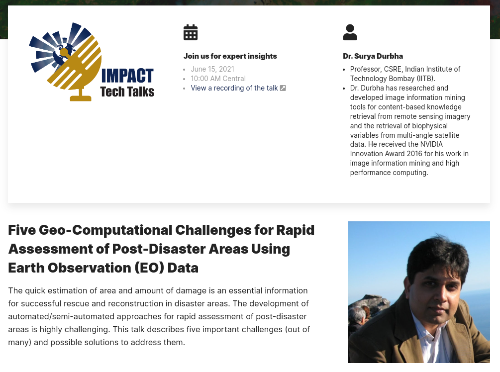
Prof. Surya S Durbha, our group leader was invited to present expert insights at the NASA IMPACT Tech Talks. Prof. Durbha delivered the talk on the topic – “Five Geo-Computational Challenges for Rapid Assessment of Post-Disaster Areas Using Earth Observation (EO) Data“. More information on the NASA IMPACT can be found here. The talk covered expert insights on highlighting the five important challenges in rapid post-disaster assessment and possible solutions to address them. The quick estimation of area and amount of Read more
ResearchmattersNews

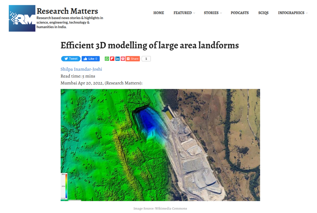
Research Matters Article features our LidarCSNet framework

Lidar is a technique that uses light pulses to gather information about land features which can be used to create a three-dimensional representation. A device installed on helicopters, drones, or tripods sends light pulses to the land and receives reflected signals from the ground under scrutiny. Depending on the time delay between the received and sent pulse signals, the number of reflections, and the intensity of reflected light pulses, a 3D representation of the region can be created. The lidar Read more

Invited Expert: A Webinar on Artificial Intelligence in Extreme Event Detection and Monitoring

Dr. Surya S Durbha, our group leader was invited to be an expert speaker at the second webinar of Geo-informatics series – “Application of Artificial Intelligence on Geospatial Data”. The webinar was organized by the Department of Information Technology of Maulana Abul Kalam Azad University of Technology, West Bengal on 6th June, 2020. The webinar was focussed on bringing new insights about application of Artificial Intelligence and High Performance Computing approaches for Extreme Events Detection and Monitoring using Earth Observation Data. Prof. Read more